
Country South Africa District Fezile Dabi Established 1912 Area 7.3 km² Population 6,294 (2011) | Province Free State Municipality Ngwathe Postal code (street) 9535 Local time Saturday 9:39 AM | |
 | ||
Weather 17°C, Wind N at 10 km/h, 53% Humidity | ||
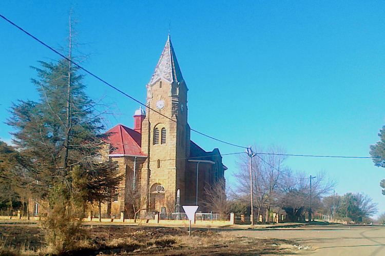
Edenville is a small farming town situated in the northern Free State province of South Africa.
Map of Edenville, South Africa
The town is situated 48 km north-east of Kroonstad and 50 km south-west of Heilbron. It was established on the farms Erfdeel-Noord, Langland and Welgelegen in 1912, and attained municipal status in 1921. The name is assumed to refer to the biblical Garden of Eden, but this is uncertain.
References
Edenville, Free State Wikipedia(Text) CC BY-SA