Quadrant NW Sector North Elevation 681 m | Ward 3 Area 128 ha Population 3,235 (2012) | |
 | ||
Restaurants Lazia Asian Kitchen, Pho Ha & Hoa Vietname, Hot Philly, Edmonton Pick n Drop, Jox Taphouse & Grill | ||
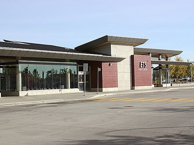
Eaux Claires is a residential neighbourhood located in north east Edmonton, Alberta, Canada. It is bounded on the north by 167 Avenue, on the west by 97 Street, and on the south by 153 Avenue. The east boundary runs along a line located between 89 Street and 90 Street. Travel north along 97 Street takes residents to CFB Edmonton while travel south along 97 Street takes residents past the Northern Alberta Institute of Technology and into the downtown core.
Contents
Map of Eaux Claires, Edmonton, AB, Canada
Housing in the neighbourhood is a mixture of single-family houses (55.7%), walk-up apartment style condominiums (32.6%), and duplexes (11.7%). The majority of residential dwelling units are owner-occupied.
Demographics
In the City of Edmonton's 2012 municipal census, Eaux Claires had a population of 7003323500000000000♠3,235 living in 7003116800000000000♠1,168 dwellings, a 14.4% change from its 2009 population of 7003282800000000000♠2,828. With a land area of 1.28 km2 (0.49 sq mi), it had a population density of 7003252730000000000♠2,527.3 people/km2 in 2012.
Surrounding neighbourhoods
Surrounding residential neighbourhoods are: Baturyn, Beaumaris, Belle Rive, Evansdale, Griesbach, Klarvatten, Lago Lindo, and Lorelei.
