
Primary inflows Max. width 0.5 mi (0.8 km) Area 136 ha Length 2.897 km | Primary outflows Eastman Brook Max. length 1.8 mi (2.9 km) Surface elevation 338 m Mean depth 3 m Width 805 m | |
 | ||
Location | ||
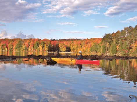
Eastman Pond is a 320-acre (1.3 km2) water body located in Sullivan and Grafton counties in western New Hampshire, United States, in the towns of Grantham and Enfield. Water from Eastman Pond flows via Eastman Brook and Stocker Brook to the North Branch of the Sugar River, then the Sugar River, and finally the Connecticut River.
Map of Eastman Pond, New Hampshire, USA
It is the central geographical feature to the Eastman Community, which is a 3,500-acre (14 km2) community consisting of single family homes and condominiums. It serves as a major source of recreational activities for the community and the area at large.
References
Eastman Pond Wikipedia(Text) CC BY-SA