
OS grid reference SE992556 Sovereign state United Kingdom Postcode district YO25 Dialling code 01377 | Post town DRIFFIELD Local time Friday 10:58 AM | |
 | ||
Weather 9°C, Wind S at 14 km/h, 75% Humidity | ||
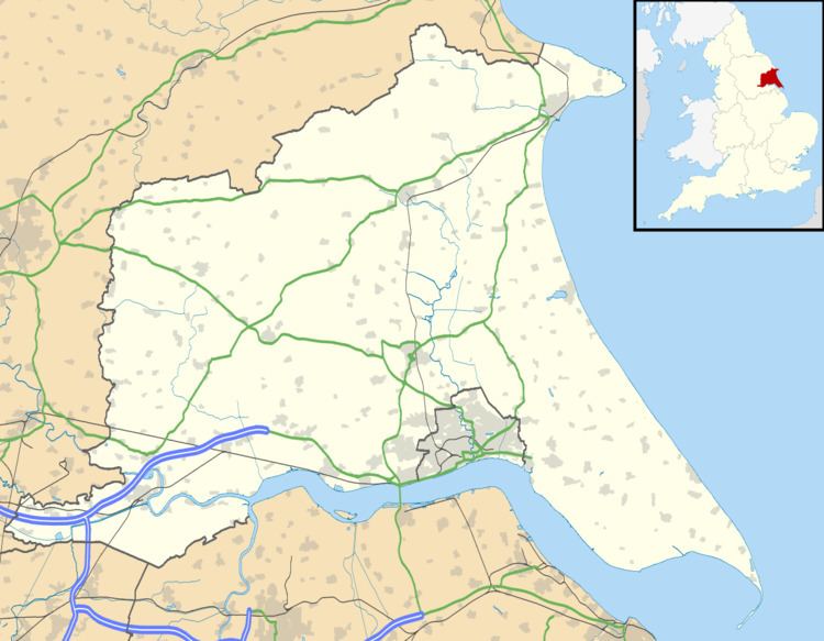
Eastburn is a hamlet in the East Riding of Yorkshire, England, it forms part of the civil parish of Kirkburn. It is situated in the Yorkshire Wolds on the A164 road, approximately 2.5 miles (4 km) south-west of Driffield town centre and 3 miles (5 km) north-west of the village of Hutton Cranswick.
Map of Eastburn, Driffield, UK
In 1823 Eastburn was in the parish of Kirkburn, the Wapentake of Harthill, and had a population of 12, which included a yeoman.
References
Eastburn, East Riding of Yorkshire Wikipedia(Text) CC BY-SA