
Sovereign state United Kingdom | Postcode district IP16 Local time Friday 10:57 AM | |
 | ||
Weather 9°C, Wind S at 19 km/h, 79% Humidity | ||
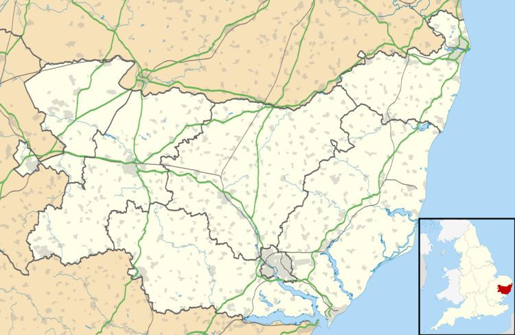
Eastbridge is a village in the English county of Suffolk. It is located approximately 4 miles (6.4 km) north of Leiston, 2 miles (3.2 km) from the North Sea in the parish of Theberton (where the population is included), immediately south of the Minsmere RSPB reserve. It borders the Minsmere River which cuts through an area of drained and undrained wetland known as the Minsmere Level.
Map of East Bridge, Leiston, UK
Eastbridge Windpump, which stood on the Minsmere Level marshes, is preserved at the Museum of East Anglian Life in Stowmarket. The marshes are also the site of the remains of the medieval chapel of St Mary which stands on the original site of Leiston Abbey.
Located in Eastbridge is the Eels Foot Inn, an ale-house dating as far back as 1533 Because of its proximity to the sea, the pub was a favourite stop of travellers, drovers and smugglers. The pub is the main feature of the small village. It is associated with folk music, and hosts a weekly gathering in which people sing songs and play folk tunes.