
 | ||
East Terrace (34.927°S 138.614°E / -34.927; 138.614) marks the eastern edge of the city centre of Adelaide, the capital city of South Australia. It is one of the main north-south thoroughfares through the east side of the city. Although the terrace essentially runs north-south between North Terrace and South Terrace, unlike Adelaide's other three terraces, its path is far from a straight line; travelling the entire length of East Terrace requires turning at right angles at most intersections. After crossing South Terrace, the street continues through the parklands as Beaumont Road, but unlike other roads through the parklands it is not a thoroughfare; there is a break in the middle of it.
Map of East Terrace, Adelaide SA 5000, Australia
The terrace marks the eastern edge of Light's Vision for the City of Adelaide. Between Grenfell Street and North Terrace, it also forms the boundary of Adelaide's "East End".
Additionally, part of it is used as part of the Adelaide Street Circuit, challenging due to its tight 90° corners.
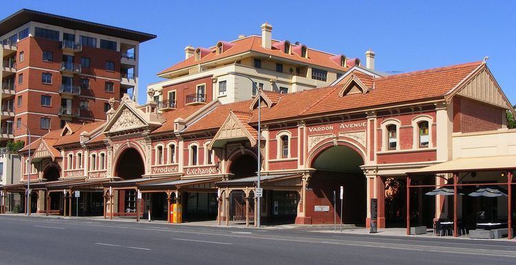
East Terrace separates the city centre from the eastern parts of the Parklands, running adjacent to Parks 13 (Rundle Park), 14 (Rymill Park), 15 (Ityamaiitpinna) and 16 (Victoria Park). The western edge of the terrace is occupied by shops, restaurants, cafes, office buildings, professional, consulting and medical practises, residences, a school, and a number of churches and pubs.