
 | ||
The East Side is a collection of neighborhoods in the eastern part of the city of Providence, Rhode Island. It officially comprises the neighborhoods of Blackstone, Hope (commonly known as Summit), Mount Hope, College Hill (once known as Prospect Hill), Wayland, and Fox Point.
Contents
- Universities and schools
- Restaurants and shopping
- Parks
- Demographics
- Government
- Hospitals
- Landmarks
- References
The area is separated from East Providence, Rhode Island, to the east by the Seekonk River. To the west it is separated from the rest of Providence by the Providence River and Interstate 95. To the north, it borders Pawtucket, Rhode Island. To the south, it abuts Narragansett Bay, which is formed by the confluence of the Seekonk and Providence Rivers.
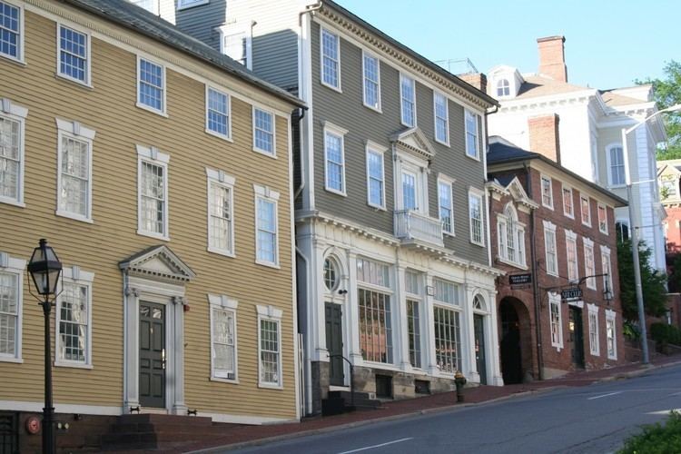
Roger Williams founded Providence along College Hill. This area thus includes some of the oldest sections of the city. The spot where he landed after crossing the Seekonk River is marked by a small park in Fox Point.
Universities and schools
The East Side contains most of Brown University's facilities. These include the Main Green, the Rockefeller Library, the Pembroke Campus, and the School of Medicine. Many of the Rhode Island School of Design's buildings are along the slope of College Hill. The RISD Museum is located on Benefit Street.
Private schools include the Moses Brown School, the Wheeler School, Lincoln School, School One, Providence Hebrew Day School, and the French-American School.
Hope High School is located at the corner of Hope and Olney Streets. It is one of Providence's public high schools.
Restaurants and shopping
Numerous cafes, restaurants, and shops are located along Thayer Street, adjoining Brown University at Veteran's Gate, and along Wickenden Street, South Water Street. Both streets are home to numerous small and independent shops, though Thayer Street has a few chain stores. Brown University's bookstore is located on Thayer. A notable Thayer Street landmark is the Avon Cinema which dates back to the early twentieth century.
Wayland Square is another shopping area, located at the intersection of Wayland Ave. and Angell St.
Parks
The East Side contains numerous parks and green spaces. India Point Park, the largest of these, is located along the northernmost shore of Narragansett Bay. It is the only large expanse of Bay-side shoreline in Providence reserved for public use.
Interstate 195 separates the park from the rest of Fox Point. Construction plans for the relocation of 195 include plans for a new, larger pedestrian bridge over the interstate, to allow better access between the park and the rest of India Point.
Other parks include:
Demographics
Mostly residential, the East Side is the most affluent part of the city with higher property values, lower unemployment, and higher income levels than the city as a whole. Approximately 20% of the city's 175,000 people live on the East Side. Mount Hope and the area along Elmgrove Avenue have historically had a large community of Russian Jews.
Government
Three of the fifteen Providence City Council wards are located on the East Side. Ward One includes all of Fox Point and parts of College Hill and Wayland south of Angell St. Ward Two encompasses the remainder of College Hill and Wayland, most of Blackstone, and parts of Mount Hope. Ward Three includes Hope (Summit) and most of Mount Hope.
As of the 2006 elections, Ward One is represented in the City Council by Seth Yurdin, Ward Two by Cliff Wood, and Ward Three by Kevin Jackson. All three are Democrats.
Major public buildings include the Rhode Island Supreme Court on Benefit Street and the RI Office of the Attorney General on South Main Street.
Hospitals
Miriam Hospital, a private, non-profit hospital, is located along Summit Avenue in the Hope (Summit) area. Local Jewish organizations founded the hospital in 1926.
Butler Hospital, located off Blackstone Boulevard, is Rhode Island's only private mental health hospital. Founded in 1844, the hospital offers psychiatric and substance-abuse treatment programs.
Landmarks
The East Side contains the oldest section of the city. The Providence Preservation Society and the Rhode Island Historical Society have preserved numerous historic buildings, especially in the College Hill area. Historic landmarks include: