
Postcode(s) 2324 County Gloucester State electorate(s) Port Stephens Postal code 2324 Federal division Division of Paterson | Time zone AEST (UTC+10) Parish Wilmot Area 37.6 km² Region Hunter Region Lga Port Stephens Council | |
 | ||
Location 178 km (111 mi) N of Sydney
38 km (24 mi) NNW of Newcastle
13 km (8 mi) N of Raymond Terrace | ||
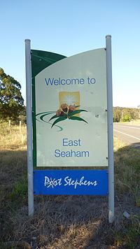
East Seaham is a primarily rural suburb of the Port Stephens local government area in the Hunter Region of New South Wales, Australia. It is situated on the east bank of the Williams River, opposite Glen Oak and Seaham. At the 2011 census, the population of East Seaham and the adjacecent suburb of Balickera was 359, with the two suburbs having an average population density of 5.5/km2 (14/sq mi).
Map of East Seaham NSW 2324, Australia
The Greswick Public School operated in East Seaham between 1895 and 1937, supported by the development of farms in and around East Seaham. The schoolhouse was moved to Seaham after a bushfire in 1939 and operated as Seaham Public School until the 1960s.
References
East Seaham, New South Wales Wikipedia(Text) CC BY-SA