
OS grid reference NZ422033 Sovereign state United Kingdom Postcode district DL6 | Post town NORTHALLERTON Local time Friday 8:46 AM District Hambleton | |
 | ||
Weather 7°C, Wind S at 16 km/h, 79% Humidity | ||
East Rounton is a village and civil parish in the Hambleton district of North Yorkshire, England. It is about 1 mile west of the A19 and 8 miles north-east of Northallerton. It is on the River Wiske and West Rounton is nearby. The population taken at the 2011 Census was less than 100. Details are included in the civil parish of West Rounton.
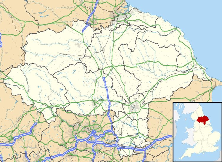
Map of East Rounton, Northallerton, UK
East Rounton was the site of Rounton Grange, a country house designed by the architect Philip Webb in 1872 to 1876 for the industrialist Lowthian Bell, and birthplace of Gertrude Bell. It was demolished in 1953.
References
East Rounton Wikipedia(Text) CC BY-SA