
 | ||
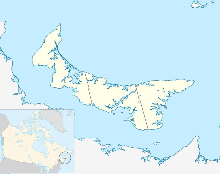
East Point is a cape and an unincorporated community located at the eastern-most extremity of Prince Edward Island, Canada. Its geographic coordinates are 46º27'N, 61º58'W.
It is the dividing point for delineating the eastern limits of the Northumberland Strait. Its shores consist of dramatic high sandstone cliffs. The Canadian Coast Guard maintains a lighthouse as a navigational aid beacon.
ShipwrecksEdit
Among others, the following ships have been wrecked at East Point:
References
East Point, Prince Edward Island Wikipedia(Text) CC BY-SA