
Country United States County White Time zone Eastern (EST) (UTC-5) Elevation 195 m | State Indiana ZIP code 47960 Local time Friday 2:44 AM | |
 | ||
Weather 1°C, Wind N at 23 km/h, 57% Humidity | ||
East Monticello is an unincorporated community in Union Township, White County, Indiana. It is named for a subdivision that lays east of Monticello's Washington Street Bridge and outside the incorporated city limit defined by the Tippecanoe River. Over the years, all of the developed area in and around that subdivision has inherited the title of East Monticello, probably because of the geographical relationship to Monticello. The area is mostly residential and bounded by the Tippecanoe River to the south and west, a railroad to the north, and a cemetery to the east.
Contents
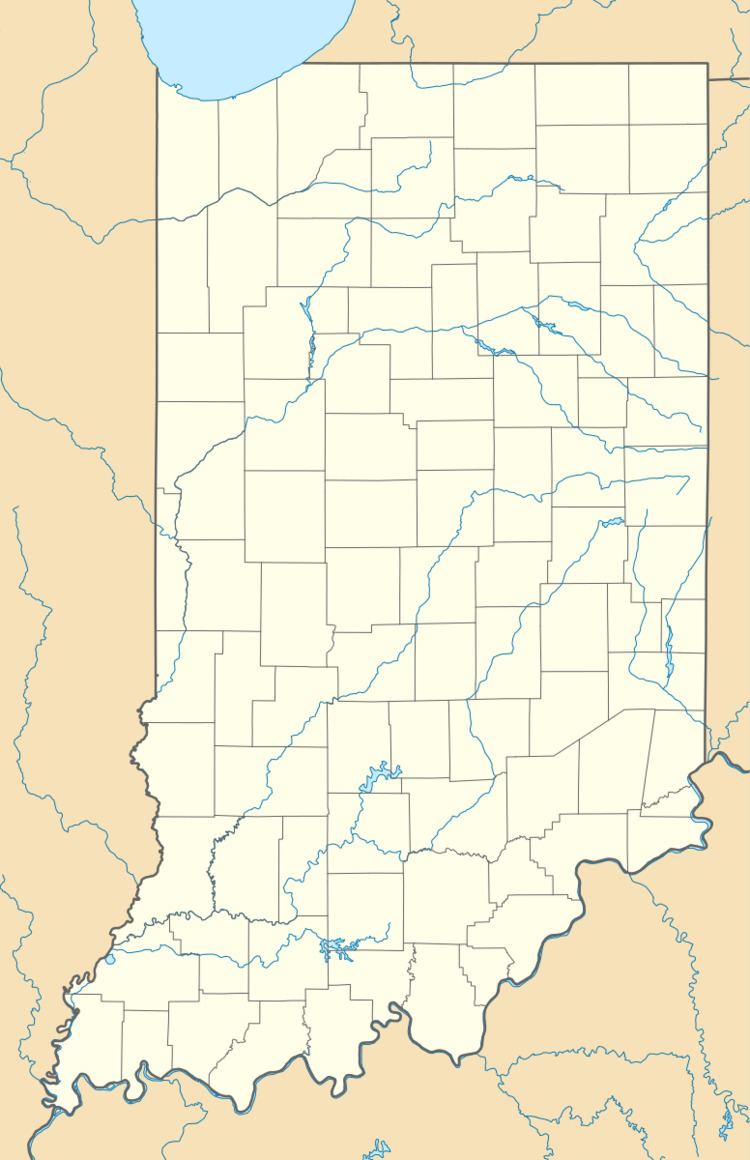
Map of East Monticello, Union Township, IN 47960, USA
Geography
East Monticello is located at 40°44′46″N 86°45′12″W.
References
East Monticello, Indiana Wikipedia(Text) CC BY-SA