
Time zone CST (UTC-6) Elevation 225 m Local time Thursday 11:21 PM | Established November 2, 1852 ZIP codes 61036, 61075 Area 60.55 km² Population 1,283 (2010) | |
 | ||
Weather 1°C, Wind NW at 23 km/h, 44% Humidity Points of interest Horseshoe Mound, Thunder Bay Falls Park, Belvedere Mansion, Grant Park, Buehler Preserve | ||
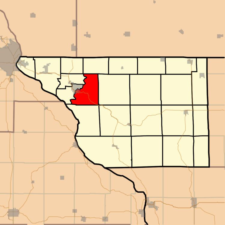
East Galena Township is one of twenty-three townships in Jo Daviess County, Illinois, USA. As of the 2010 census, its population was 1,283 and it contained 917 housing units.
Contents
- Map of East Galena Township IL 61036 USA
- Geography
- Cities towns villages
- Adjacent townships
- Cemeteries
- Major highways
- Airports and landing strips
- Landmarks
- School districts
- Political districts
- References
Map of East Galena Township, IL 61036, USA
Geography
According to the 2010 census, the township has a total area of 23.38 square miles (60.6 km2), of which 23.22 square miles (60.1 km2) (or 99.32%) is land and 0.16 square miles (0.41 km2) (or 0.68%) is water.
Cities, towns, villages
Adjacent townships
Cemeteries
The township contains these two cemeteries: Miners Chapel and Saint Michaels.
Major highways
Airports and landing strips
Landmarks
School districts
Political districts
References
East Galena Township, Jo Daviess County, Illinois Wikipedia(Text) CC BY-SA