
Country United States Time zone CST (UTC-6) Area 97.44 km² Population 400 (2010) | Established November 4, 1873 Elevation 145 m Local time Thursday 11:16 PM | |
 | ||
ZIP codes 62231, 62253, 62283 62882 Weather 7°C, Wind N at 24 km/h, 70% Humidity | ||
East Fork Township is one of fifteen townships in Clinton County, Illinois, USA. As of the 2010 census, its population was 400 and it contained 236 housing units. Its name changed to Morris on June 1, 1874 and then back to East Fork.
Contents
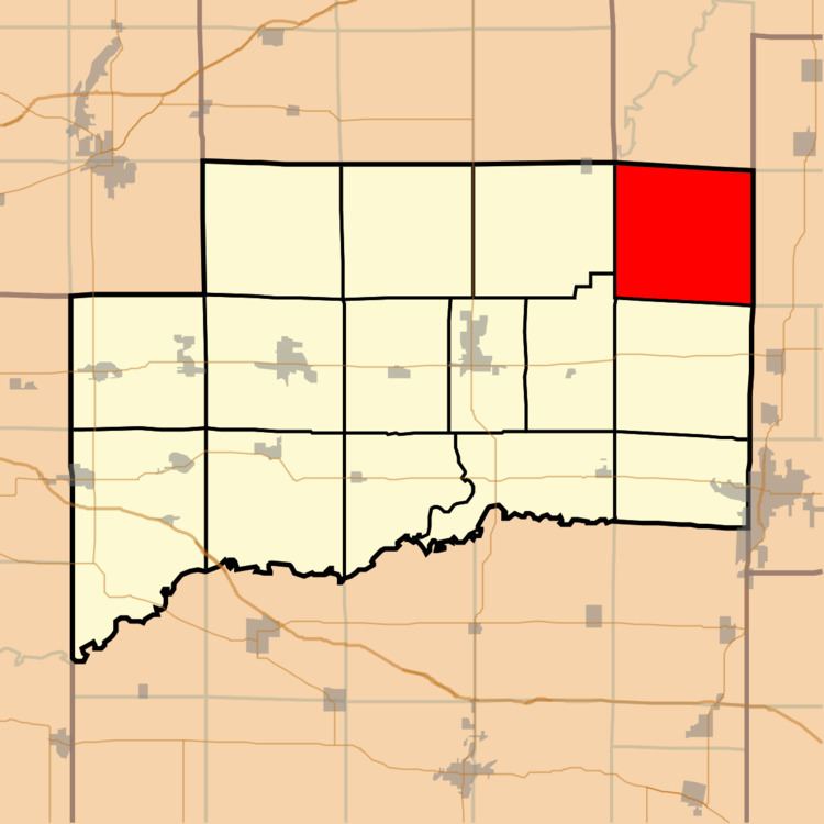
- Map of East Fork Township IL USA
- Geography
- Unincorporated towns
- Cemeteries
- Rivers
- School districts
- Political districts
- References
Map of East Fork Township, IL, USA
Geography
According to the 2010 census, the township has a total area of 37.62 square miles (97.4 km2), of which 31.58 square miles (81.8 km2) (or 83.94%) is land and 6.04 square miles (15.6 km2) (or 16.06%) is water.
Unincorporated towns
(This list is based on USGS data and may include former settlements.)
Cemeteries
The township contains these eight cemeteries: Brewster, Clark, Ebenezer, Hawkins, New Carter, Old Carter, Prairie Chapel and Prichett.
Rivers
School districts
Political districts
References
East Fork Township, Clinton County, Illinois Wikipedia(Text) CC BY-SA