
Country United States Time zone Eastern (EST) (UTC-5) Elevation 355 m Zip code 44730 Local time Thursday 10:50 PM | Area code(s) 330/234 Area 3.42 km² Population 1,593 (2013) | |
 | ||
Weather 0°C, Wind N at 5 km/h, 93% Humidity | ||
East canton ohio tour 44730
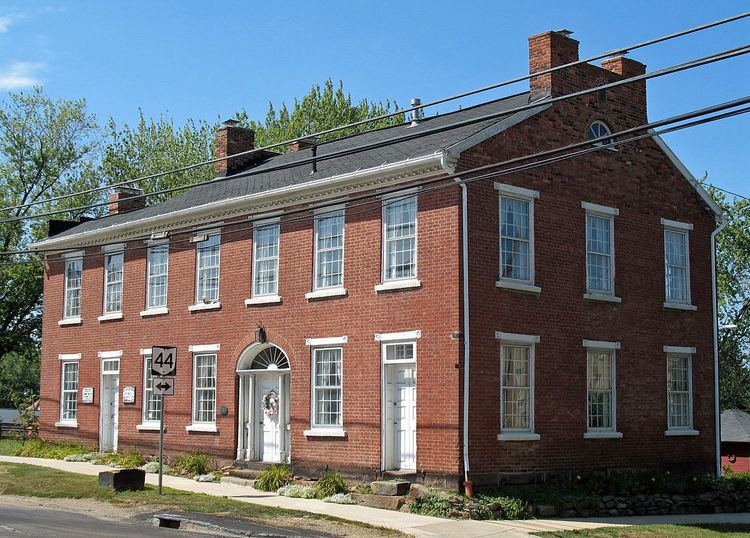
East Canton is a village in Stark County in the U.S. state of Ohio. The population was 1,591 at the 2010 census. It is part of the Canton-Massillon, OH Metropolitan Statistical Area.
Contents
- East canton ohio tour 44730
- Map of East Canton OH 44730 USA
- Geography
- Notable people
- 2010 census
- 2000 census
- References
Map of East Canton, OH 44730, USA
East Canton was originally settled under the name "Osnaburg". The village was founded with the help of David Ward V and his son David Ward Vl.
Geography
East Canton is located at 40°47′12″N 81°17′13″W (40.786708, -81.287080).
According to the United States Census Bureau, the village has a total area of 1.32 square miles (3.42 km2), all land.
Notable people
East Canton was the home of Vince Shupe, a Major League Baseball player. The film star Jean Peters was born and went to high school there. It is also the birthplace of the sinologist Victor H. Mair.
2010 census
As of the census of 2010, there were 1,591 people, 662 households, and 448 families residing in the village. The population density was 1,205.3 inhabitants per square mile (465.4/km2). There were 705 housing units at an average density of 534.1 per square mile (206.2/km2). The racial makeup of the village was 94.0% White, 3.3% African American, 0.1% Native American, 0.1% Asian, 0.7% from other races, and 1.8% from two or more races. Hispanic or Latino of any race were 1.7% of the population.
There were 662 households of which 32.2% had children under the age of 18 living with them, 49.5% were married couples living together, 12.1% had a female householder with no husband present, 6.0% had a male householder with no wife present, and 32.3% were non-families. 25.8% of all households were made up of individuals and 11.5% had someone living alone who was 65 years of age or older. The average household size was 2.40 and the average family size was 2.90.
The median age in the village was 39.8 years. 23.1% of residents were under the age of 18; 6.8% were between the ages of 18 and 24; 26.6% were from 25 to 44; 28.5% were from 45 to 64; and 15% were 65 years of age or older. The gender makeup of the village was 49.2% male and 50.8% female.
2000 census
As of the census of 2000, there were 1,629 people, 664 households, and 470 families residing in the village. The population density was 155,228.7 people per square mile (47442.9/km²). There were 696 housing units at an average density of 525.0 per square mile (202.1/km²). The racial makeup of the village was 94.78% White, 3.87% Black or African American, 0.49% Native American, 0.06% Asian American, and 0.80% from two or more races. 1.10% of the population is Hispanic or Latino of any race.
There were 664 households out of which 30.3% had children under the age of 18 living with them, 53.8% were married couples living together, 13.0% had a female householder with no husband present, and 29.1% were non-families. 24.2% of all households were made up of individuals and 8.3% had someone living alone who was 65 years of age or older. The average household size was 2.45 and the average family size was 2.90.
In the village, the population was spread out with 22.8% under the age of 18, 10.1% from 18 to 24, 29.7% from 25 to 44, 24.1% from 45 to 64, and 13.3% who were 65 years of age or older. The median age was 38 years. For every 100 females there were 96.5 males. For every 100 females age 18 and over, there were 92.2 males.
The median income for a household in the village was $40,756, and the median income for a family was $43,796. Males had a median income of $34,286 versus $21,458 for females. The per capita income for the village was $17,904. About 5.9% of families and 8.1% of the population were below the poverty line, including 12.6% of those under age 18 and 13.0% of those age 65 or over.