
Country Vietnam Capital Ea Đrăng Area 1,331 km² | Region Central Highlands Time zone UTC + 7 (UTC+7) Province Đắk Lắk Province | |
 | ||
Picnic2012 ehleo
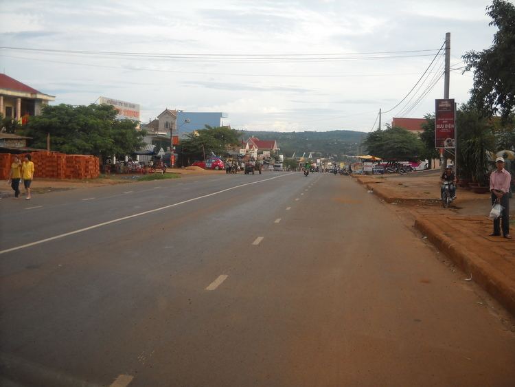
Ea H'leo (Vietnamese: Ea H'leo) is a district (huyện) of Dăk Lắk Province in the Central Highlands region of Vietnam. Ea H'leo is between Gia Lai Province and Buôn Hồ District flowing Highway 14. Ea H'leo has great soil fertility, huge forests and other different resources such as rubber and pepper. The main income of the population is coffee.
Contents
Map of Ea H'Leo, %C4%90%E1%BA%AFk L%E1%BA%AFk Province, Vietnam
As of 2003 the district had a population of 106,185. The district covers an area of 1,331 km². The district capital lies at Ea'Đrăng.
Besides the capital Ea'Đrăng, Ea H'leo has 11 villages :
References
Ea H'leo District Wikipedia(Text) CC BY-SA