
Time zone GMT+4 (UTC+4) Elevation 2,003 m Population 3,878 (2008) | Reoccupied 1930 Postal code 1412 Local time Wednesday 11:24 PM | |
 | ||
Weather -2°C, Wind W at 2 km/h, 71% Humidity | ||
Dzoragyugh (Armenian: Ձորագյուղ; also Romanized as Dzoragyukh; formerly, Vali Agalu; also recorded as Dvoragyukh) is a village in the Gegharkunik Province of Armenia. There is a ruined church dating back to the 9th century as well as a hermitage also of the 9th century in the village.
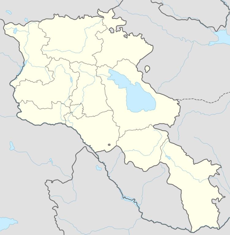
Map of Dzoragyugh, Armenia
References
Dzoragyugh, Gegharkunik Wikipedia(Text) CC BY-SA