
Local time Wednesday 7:41 PM | Population 20 | |
 | ||
Weather 2°C, Wind SE at 6 km/h, 76% Humidity Voivodeship Warmian-Masurian Voivodeship | ||
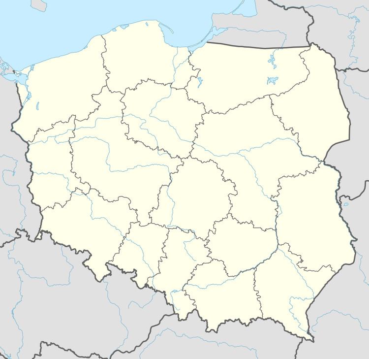
Dziaduszyn [d͡ʑaˈduʂɨn] (German: Charlottenhof) is a settlement in the administrative district of Gmina Pozezdrze, within Węgorzewo County, Warmian-Masurian Voivodeship, in northern Poland. It lies approximately 5 kilometres (3 mi) north-west of Pozezdrze, 7 km (4 mi) south-east of Węgorzewo, and 96 km (60 mi) north-east of the regional capital Olsztyn.
Map of Dziaduszyn, Poland
Before 1945, the area was part of Germany (East Prussia). After World War II the area was placed under Polish administration by the Potsdam Agreement under territorial changes demanded by the Soviet Union. Germans fled or were expelled and replaced with Poles expelled from the Polish areas annexed by the Soviet Union or forced to settle in the area through Operation Vistula in 1947.
The settlement has a population of 20.