Rahul Sharma (Editor)

Dyer Point

Updated on
Edit
Like
Comment
Share on FacebookTweet on TwitterShare on LinkedInShare on Reddit
Dyer Point

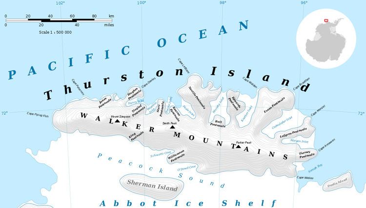
Dyer Point (71°53′S 100°37′W) is an ice-covered point just west of Hughes Peninsula on the north coast of Thurston Island. It was first plotted from air photos taken by U.S. Navy Operation Highjump in December 1946, and was named by the Advisory Committee on Antarctic Names for J.N. Dyer, a radio engineer with the Byrd Antarctic Expedition in 1933–35.

Maps

  • Thurston Island – Jones Mountains. 1:500000 Antarctica Sketch Map. US Geological Survey, 1967.
  • Antarctic Digital Database (ADD). Scale 1:250000 topographic map of Antarctica. Scientific Committee on Antarctic Research (SCAR). Since 1993, regularly upgraded and updated.
  • References

    Dyer Point Wikipedia


    Similar Topics