
Country India District Srikakulam PIN 532484 Local time Wednesday 1:42 PM Area code 08942 | State Andhra Pradesh Time zone IST (UTC+5:30) Telephone code 08942 Population 2,718 (2001) | |
 | ||
Weather 31°C, Wind S at 26 km/h, 66% Humidity | ||
Dusi is a village and panchayat in Amadalavalasa mandal in Srikakulam district in the Indian state of Andhra Pradesh.
Contents
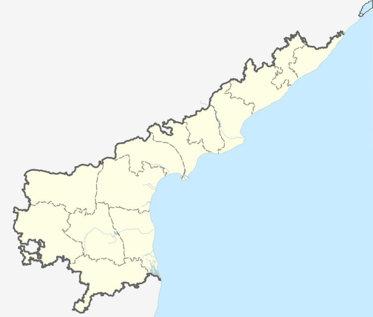
Map of Dusipeta, Andhra Pradesh 532484
Geography
Dusi is located on the banks of River Nagavali (Languliya).
Demographics
As of 2001 it had a population of 2,718 in 670 households.
Village Panchayat: Dusi peta, Nellimetta & Dusi come under the Village Panchayat, recently sworn as Gram Sarpanch, Smt. Chigurupalli Kalyani.
Many development activities are being done by the Sarpanch, Smt. Chigurupalli Kalyani, irrespective of the support of the Governments with the help of villagers support.
Economy
There is a large scale steel plant located at Dusi owned by Concast Ferro Inc.
Transport
Dusi railway station is located on Howrah-Chennai main line in East Coast Railway, Indian Railways. Dusi is 7 km from Srikakulam Road railway station. There is a railway bridge across river Nagavali at Dusi. Dusi is 9 km from Srikakulam town and it can be reached by buses or auto-rickshaws.
The RTC buses are plying again to the village based on the request from the former Minister and Former MLA. Tammnineni Sitharam.