
Canton Vitry-en-Artois Area 5.31 km² | Intercommunality Osartis Local time Wednesday 8:58 AM | |
 | ||
Weather 7°C, Wind S at 31 km/h, 98% Humidity | ||
Dury is a commune in the Pas-de-Calais department in the Hauts-de-France region of France.
Contents
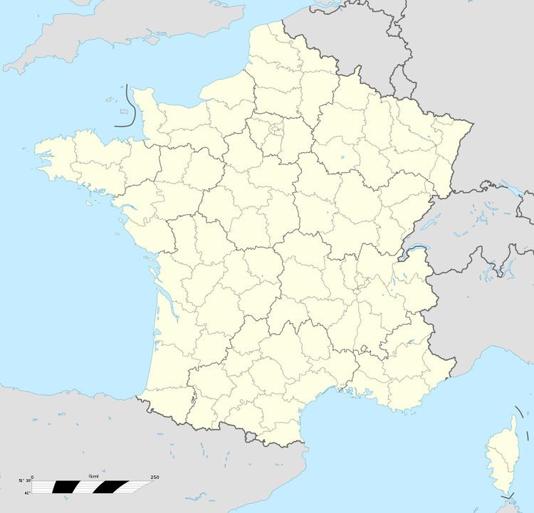
Map of Dury, France
Geography
A farming village 10 miles (16.1 km) southeast of Arras at the junction of the D956 and D9E roads. The A26 autoroute closely passes by the village.
Places of interest
References
Dury, Pas-de-Calais Wikipedia(Text) CC BY-SA