Country Turkey Postal code 30110 Elevation 1,948 m Population 3,137 (2014) Province Hakkâri Province | Time zone EET (UTC+2) Licence plate 16 Local time Wednesday 8:54 AM Area code 0438 | |
 | ||
District Hakkari central district Weather -2°C, Wind N at 8 km/h, 73% Humidity | ||
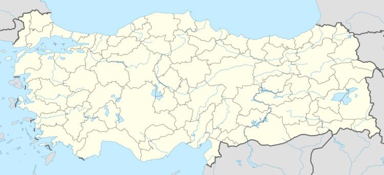
Durankaya is belde (town) in the central district (Hakkari) of Hakkari Province, Turkey. It is situated at 37°34′N 43°37′E. The distance to Hakkari is about 15 kilometres (9.3 mi). The population of the town was 3137. as of 2014. Reverse tulip (Fritillaria imperialis Turkish: ters lale) which is endemic to areas neighbouring south east Turkey, is abundant in the mountains around Durankaya.
Map of Durankaya, 30110 Durankaya Belediyesi%2FHakk%C3%A2ri Merkez%2FHakk%C3%A2ri, Turkey
References
Durankaya Wikipedia(Text) CC BY-SA
