
Country Nepal District Lamjung District Local time Wednesday 11:16 AM | Zone Gandaki Zone Time zone Nepal Time (UTC+5:45) Population 2,135 (1991) | |
 | ||
Weather 20°C, Wind S at 6 km/h, 47% Humidity | ||
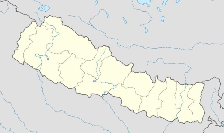
Duradanda is a village development committee in Lamjung District in the Gandaki Zone of northern-central Nepal. At the time of the 1991 Nepal census Facing east, it lies between river Kirenche in the east and Paudi river in the south, Chadreswar Village in west .There is only high school named Sanskriti Sadan at village Archalyani .Duradanda had a population of 2135 people living in 430 individual households. It is three hour walk form the Sundarbazar. There are nine ward in Duradanda VDC and among them Puranadehi known as Tiwari Gaun is the most prominent village for the literacy level, political revolution and increasing population rate of Dura.
Map of Duradanda 33600, Nepal
References
Duradanda Wikipedia(Text) CC BY-SA