Population 6,177 (2011 census) Postcode(s) 4077 Founded 1991 Local time Wednesday 3:31 PM | Established 1991 Postal code 4077 | |
 | ||
Location 15 km (9 mi) from Brisbane GPO Weather 29°C, Wind SW at 13 km/h, 38% Humidity | ||
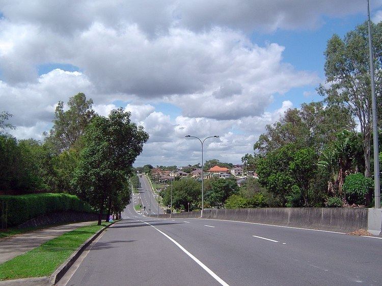
Durack is an outer suburb of Brisbane, Australia. It is 15 kilometres (9 mi) south-west of the CBD. The suburb had a population of 6,177 at the 2011 Census.
Contents
Map of Durack QLD 4077, Australia
Durack is named after Michael Durack, one of the original landholders of the area. It was given this name in 1976 from a naming competition in a local newspaper.
Demographics
In the 2011 census, Durack recorded a population of 6,177 people, 51.6% female and 48.4% male.
The median age of the Durack population was 38 years of age, 1 year above the Australian median.
54.6% of people living in Durack were born in Australia, compared to the national average of 69.8%; the next most common countries of birth were Vietnam 14.3%, New Zealand 3.9%, England 3.2%, Samoa 1.5%, Philippines 1.4%.
54.4% of people spoke only English at home; the next most popular languages were 23.2% Vietnamese, 3.1% Samoan, 1.3% Arabic, 0.9% Tagalog, 0.9% Spanish.
Education
The suburb is home to a number of education facilities. Inala State School was opened in 1955 and is located in Durack, not Inala. Durack Primary School was prior to 2001 known as Serviceton State School. Glenala High School was formally known as Inala State High School. Australian International Islamic College opened in 2002.
Transport
The suburb is linked to Salisbury railway station and the Brisbane CBD by bus route 110. The suburb is also linked to Richlands railway station by bus route 466.
