
OS grid reference SO975075 Post town CIRENCESTER Local time Wednesday 4:06 AM | Sovereign state United Kingdom Postcode district GL7 Dialling code 01285 | |
 | ||
Weather 9°C, Wind SW at 21 km/h, 98% Humidity | ||
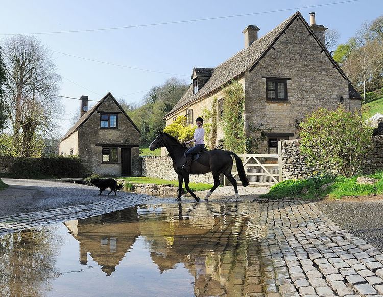
Duntisbourne Leer is in the county of Gloucestershire, and lies within the Cotswolds, a range of hills designated an Area of Outstanding Natural Beauty. It is approximately 10.5 miles (16.9 km) southeast of Gloucester and approximately 4.5 miles (7.2 km) northwest of Cirencester. Nearby villages include Duntisbourne Abbots and Duntisbourne Rouse.
Map of Duntisbourne Leer, Cirencester, UK
The village was recorded as Duntesborne: Lyre Abbey in the Domesday Book, the name coming from the Old English for "stream of a man called Dunt" and the fact the hamlet belonged to the Abbey of Lyre in Normandy.
References
Duntisbourne Leer Wikipedia(Text) CC BY-SA