
Population 185 (2011) Region North West Sovereign state United Kingdom District Borough of Burnley UK parliament constituency Burnley | OS grid reference SD821280 Country England Shire county Lancashire Dialling code 01282 | |
 | ||
Civil parish Dunnockshaw and Clowbridge Weather 8°C, Wind SW at 26 km/h, 97% Humidity | ||
Dunnockshaw and Clowbridge is a civil parish in the borough of Burnley, in Lancashire, England. The parish is situated between Burnley and Rawtenstall.
According to the United Kingdom Census 2011, the parish has a population of 185, a decrease from 212 in the 2001 census.
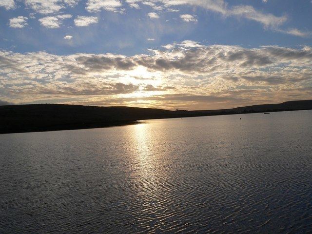
It contains the hamlets of Clowbridge and Dunnockshaw, both located on the A682 road. Clowbridge Reservoir is situated in the east of parish on the boundary with Rossendale. The reservoir, operated by United Utilities, is a used as a location for water sports. It was built in 1866 resulting in the flooding of the village of Gambleside.
The parish adjoins the Burnley parishes of Hapton and Habergham Eaves and the Borough of Rossendale.
Dunnockshaw was once a township in the ancient parish of Whalley. This became a civil parish in 1866, forming part of the Burnley Rural District from 1894. The Clowbridge area, previously part of Hapton, transferred to Dunnockshaw but a detached area of the old township moved to Hapton in 1935.
During World War II a Starfish site bombing decoy was constructed on Hameldon hill near Heights Farm, part of a network designed to protect Accrington. Its site is protected as a Scheduled monument.