
OS grid reference SU4488653448 Post town WHITCHURCH Dialling code 01264 | Sovereign state United Kingdom Postcode district RG28 District Basingstoke and Deane | |
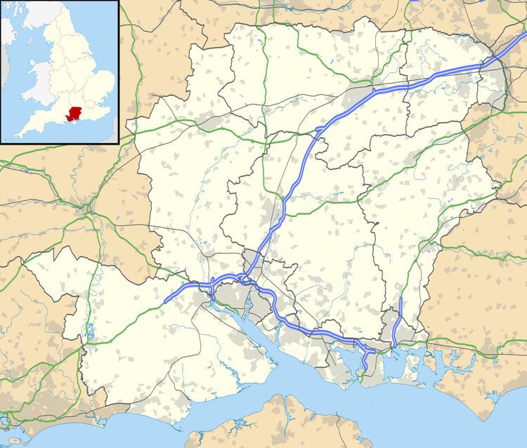 | ||
Dunley is a hamlet in the Basingstoke and Deane district of Hampshire, England. At the 2011 Census the population was included in the civil parish of Litchfield and Woodcott. Its nearest town is Whitchurch, which lies approximately 3.7 miles (5.6 km) south-east from the village.
Map of Dunley, Whitchurch, UK
References
Dunley, Hampshire Wikipedia(Text) CC BY-SA