
Country Canada Established 1826 Population 6,282 (2011) Province New Brunswick | County Kent Time zone AST (UTC-4) Local time Tuesday 8:55 PM | |
 | ||
Weather -1°C, Wind S at 6 km/h, 96% Humidity | ||
Dundas is a Canadian parish in Kent County, New Brunswick.
Contents
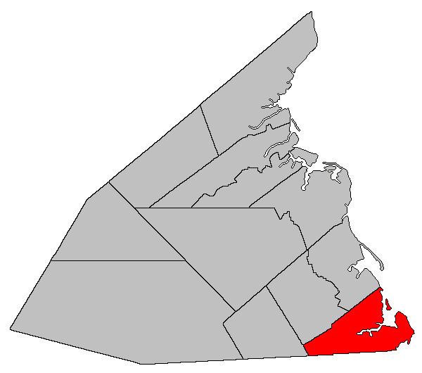
Map of Dundas, NB, Canada
Its population in the 2011 Census was 6,282.
Delineation
Dundas Parish is defined in the Territorial Division Act as being bounded:
South by the County line; west by the McLaughlin Road; north by a line beginning at the seashore, at the northeastern angle of lot no. 1, granted to Joseph Richard; thence south seventy-two degrees and thirty minutes west seven hundred and sixty-five chains, or until it meets the westerly line of lot number 86, granted to Maximin A. Girouard; thence along the western line of said lot in a southerly direction, to meet the southern line of lot number 84, granted to Beloni Robicheau; thence westerly along the said southern line of the last-mentioned grant and its westerly prolongation to the eastern side of the McLaughlin Road; and east by the Gulf of Saint Lawrence, including all the islands in front.Communities
Parish population total does not include incorporated municipalities (in bold):
References
Dundas Parish, New Brunswick Wikipedia(Text) CC BY-SA