Population 0 (abandoned) Postcode(s) 6443 Local time Wednesday 8:58 AM | Established 1895 Postal code 6443 | |
 | ||
Weather 23°C, Wind E at 2 km/h, 58% Humidity | ||
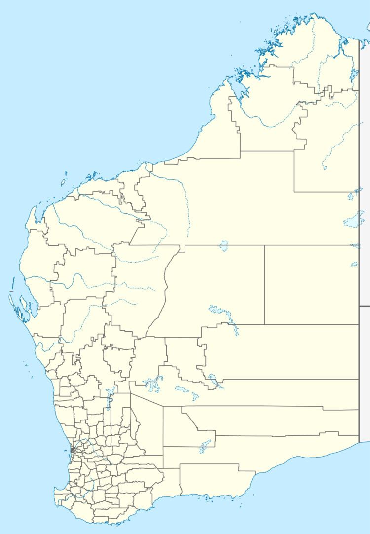
Dundas is the name of an abandoned town in the Goldfields-Esperance Region of Western Australia. The town is located about 2 kilometres (1.2 mi) east of the Esperance Branch Railway, on the western shore of Lake Dundas.
Map of Dundas WA 6443, Australia
Dundas was the location of an early gold find in the region in 1894. The town was gazetted on 22 May 1895 and derives its name from the Dundas Hills which, in turn, were named after Captain Dundas of the Royal Navy ship HMS Tagus in 1848.
The population of the town was 99 (71 males and 28 females) in 1898.
Further gold finds north of Dundas led to the establishment of Norseman, which, being the richer find, rapidly outgrew the former.
References
Dundas, Western Australia Wikipedia(Text) CC BY-SA
