
FIPS code 19-22710 Elevation 377 m Zip code 50423 | Time zone CST (UTC-6) GNIS feature ID 0456058 Population 131 (2010) Area code 641 | |
 | ||
Area 205 ha (202 ha Land / 2 ha Water) | ||
Duncan is a census-designated place (CDP) in Hancock County, Iowa, United States. The population was 131 at the 2010 census.
Contents
History
Duncan was platted in 1900.
Geography
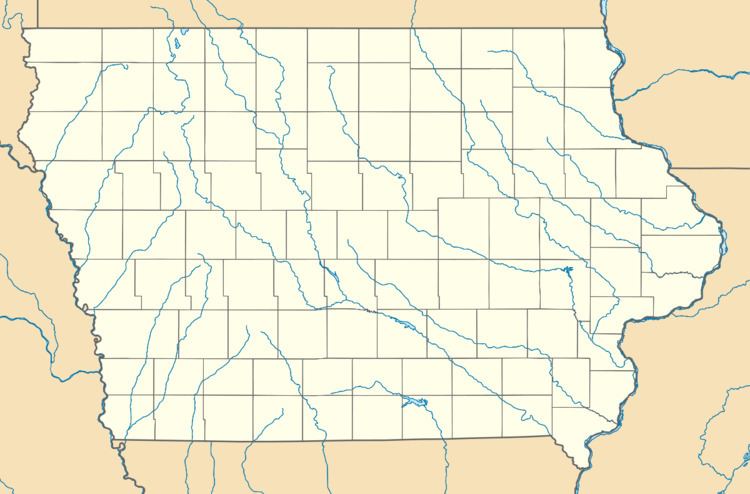
Duncan is located at 43°6′16″N 93°42′40″W, 4.6 miles (7.4 km) east of Britt and 5.4 miles (8.7 km) west of Garner along U.S. Route 18.
According to the United States Census Bureau, the CDP has a total area of 0.79 square miles (2.05 km2), of which 0.78 square miles (2.03 km2) is land and 0.0077 square miles (0.02 km2), or 0.90%, is water.
References
Duncan, Iowa Wikipedia(Text) CC BY-SA