
Established 1833 Local time Tuesday 6:57 PM | Time zone AST (UTC-4) Population 373 (2011) Area code 506 | |
 | ||
Weather -1°C, Wind SE at 10 km/h, 100% Humidity | ||
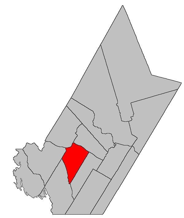
Dumfries is a Canadian parish in York County, New Brunswick.
Contents
Map of Dumfries, NB, Canada
Its population in the 2011 Census was 373.
Delineation
Dumfries Parish is defined in the Territorial Division Act as being bounded:
Southeast by Prince William Parish; northeast by the Saint John River; west and northwest by the upper sideline of lot numbered six, granted to John Benn, and a line running southwesterly from the southwest angle thereof, parallel to the upper line of Prince William Parish; and southwest by eastern lines of the grants to the New Brunswick and Canada Railway and Land Company, east of the Canadian Pacific Railroad, being commonly called “The Belt Line,” and the said Belt Line being continued northerly as surveyed by Deputy Alfred Whitehead, in the year one thousand eight hundred and fifty-nine.Governance
The entire parish forms the local service district of the parish of Dumfries, established in 1966 to assess for fire protection. Community services were added to the assessment in 1967 and first aid and ambulance services in 1978.
Communities
Parish population total does not include incorporated municipalities (in bold):
References
Dumfries Parish, New Brunswick Wikipedia(Text) CC BY-SA