
Population 395 (2011 census) Postal code 4310 | Postcode(s) 4310 Dugandan Milford Local time Wednesday 5:00 AM | |
 | ||
Weather 18°C, Wind S at 11 km/h, 69% Humidity | ||
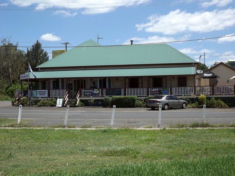
Dugandan is both a town and a locality in the Scenic Rim Region, Queensland, Australia. In the 2011 census, Dugandan had a population of 395 people.
Contents
Map of Dugandan QLD 4310, Australia
History
The name Dugandan is believed to be an Aboriginal word dugai/tugai meaning mountain spur place. Originally the name was used for a large pastoral run established in 1884, covering a much larger area than the current locality from Boonah to Mount Joyce. As a result, the name Dugandan was used for the present day town of Boonah until the 1880s when it acquired its present name.
The Dugandan Provisional School which opened in 1878 was located in (present day) Boonah. This school was renamed Boonah State School in 1895. Dugandan State School opened in (present day) Dugandan on 13 January 1917. It closed in 1966.
By 1887 a sawmill was already established in Dugandan under the combined partnership of Josias Hancock and James Cossart. Cossart's Mill became one of the major employers in the region and contributed significantly to the prosperity of Boonah and Dugandan into the twentieth century.
Dugandan Post Office opened on 11 September 1887 (a receiving office had been open from 1881) and closed in 1929.
The Trinity Lutheran church opened on 23 April 1889.
Heritage listings
Dugandan has the following heritage sites: