
Highest point Aughenbaugh Peak Mountains Aughenbaugh Peak | Country Antarctica | |
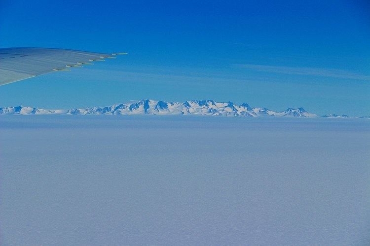 | ||
Dufek Massif (82°36′S 52°30′W) is a rugged, largely snow-covered massif 27 nautical miles (50 km) long, standing west of the Forrestal Range in the northern part of the Pensacola Mountains. It was discovered and photographed on January 13, 1956 on a transcontinental patrol plane flight of U.S. Navy Operation Deep Freeze from McMurdo Sound to the vicinity of the Weddell Sea and return, and named by the Advisory Committee on Antarctic Names for Rear Admiral George J. Dufek, U.S. Navy, who was in direct operational command of U.S. Navy Task Force 43 during that operation. The entire Pensacola Mountains were mapped by the U.S. Geological Survey in 1967 and 1968 from ground surveys and U.S. Navy tricamera aerial photographs taken in 1964.
The range covers 11,668 square kilometres (4,505 sq mi) and its highest point is England Peak, at 2,150 metres (7,050 ft).
Dufek Coast, Dufek Head, and Dufek Mountain are also named for Dufek. Other notable local terrain features include Kelley Spur, a rock spur 2 nautical miles (4 km) east of Spear Spur on the south side of Dufek Massif.