
 | ||
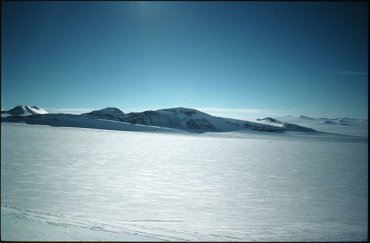
The Du Toit Mountains (72°28′S 62°11′W) are a group of mountains about 35 miles (56 km) long and 10 miles (16 km) wide, to the south-west of the Wilson Mountains in southeastern Palmer Land, Antarctica. The mountains have peaks rising to 1,700 metres (5,600 ft) and are bounded by Beaumont Glacier, Maury Glacier and Defant Glacier. They were first photographed from the air by the U.S. Antarctic Service in 1940; rephotographed by the U.S. Navy, 1966–69, and mapped from the photographs by the U.S. Geological Survey. In association with the names of continental drift scientists grouped in this area, they were named by the Advisory Committee on Antarctic Names after Alexander du Toit, a South African geologist who was an early proponent of the theory of continental drift.