
- elevation 5,886 ft (1,794 m) Length 142 km Basin area 1,948 km² Country United States of America | - elevation 2,782 ft (848 m) Basin area 1,948 km² Mouth Crooked River | |
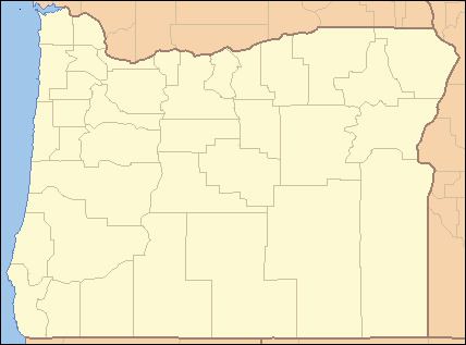 | ||
- location Deschutes County, Oregon - location west of Prineville, Crook County, Oregon | ||
The Dry River is an intermittent tributary, 88 miles (142 km) long, of the Crooked River in the U.S. state of Oregon. The stream arises near Hampton Buttes north of Hampton and U.S. Route 20 between Brothers and Riley in the Oregon High Desert. Beginning in eastern Deschutes County near its border with Crook County, it flows generally northwest along the Deschutes–Crook county line, crossing briefly into Crook County before turning slightly south and returning to Deschutes County. Along these upper reaches, it flows roughly parallel to the highway, under which it passes several times before turning sharply north near the Horse Ridge Research Natural Area, 19 miles (31 km) southeast of Bend. Continuing north and re-entering Crook County, it passes under Powell Butte Highway, Oregon Route 126 (Ochoco Highway), and Oregon Route 370 (O'Neil Highway) before entering the Crooked River 34 miles (55 km) from the larger stream's confluence with the Deschutes River.
Map of Dry River, Oregon, USA
Oregon Geographic Names says that the dry channel of the river, which runs in places between walls of basalt, is clearly marked for more than 50 miles (80 km), from the west end of the desert to the Crooked River. Dry River Canyon, a deeply incised stretch of the river bed near Millican, is used as a hiking path, about 2.3 miles (3.7 km) long. The canyon was carved during the wetter climate of the Pleistocene epoch by water flowing from a now-vanished lake in the Millican Valley. Canyon walls in this stretch rise 300 feet (91 m) above the sandy bed of the river. Other sights include large boulders, juniper trees, and Native American petroglyphs.