
Country Poland Local time Tuesday 7:13 AM | Population 40 | |
 | ||
Weather 0°C, Wind N at 6 km/h, 86% Humidity Voivodeship | ||
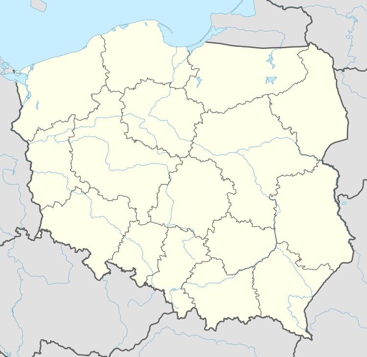
Drożyska Małe [drɔˈʐɨska ˈmawɛ] is a village in the administrative district of Gmina Zakrzewo, within Złotów County, Greater Poland Voivodeship, in west-central Poland. It lies approximately 4 kilometres (2 mi) south of Zakrzewo, 9 km (6 mi) east of Złotów, and 110 km (68 mi) north of the regional capital Poznań.
Map of Dro%C5%BCyska Ma%C5%82e, Poland
Before 1772 the area was part of Kingdom of Poland, 1772-1945 Prussia and Germany. For more on its history, see Złotów County.
The village has a population of 40.
References
Drożyska Małe Wikipedia(Text) CC BY-SA