OS grid reference ST418050 | Sovereign state United Kingdom Local time Tuesday 2:11 AM | |
 | ||
Weather 5°C, Wind NW at 19 km/h, 74% Humidity | ||
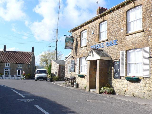
Drimpton is a village in the English county of Dorset, situated in the West Dorset administrative district approximately 5 miles (8.0 km) northwest of Beaminster and 3.5 miles (5.6 km) southwest of Crewkerne in Somerset. It lies within the civil parish of Broadwindsor.
Map of Drimpton, Beaminster, UK
Drimpton is sited on a small tributary of the River Axe which was unnamed until 2005 when, after a vote by villagers, it was officially named the "Little Axe". Neighbouring settlements include Clapton, Seaborough, Broadwindsor, Burstock, Greenham and Netherhay, the latter two being small hamlets virtually contiguous with Drimpton. At Greenham there was once a flax mill, part of which still survives as a factory making pet products. The village has two places of worship: the Anglican parish church of St Mary's and the Netherhay Methodist chapel. Three books, chronicling life in the area, have recently been compiled; the project was called 'Village Voices'.
