
Elevation 468 m | Postal code 389 01 Area 12.72 km² | |
 | ||
Website | ||
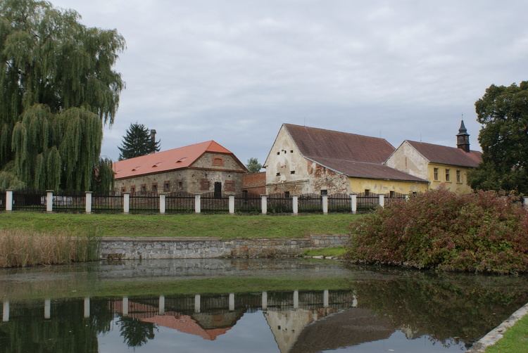
Drahonice is a village and municipality (obec) in Strakonice District in the South Bohemian Region of the Czech Republic.
Map of 389 01 Drahonice, Czechia
The municipality covers an area of 12.72 square kilometres (4.91 sq mi), and has a population of 343 (as at 2005).
Drahonice lies approximately 15 kilometres (9 mi) south-east of Strakonice, 39 km (24 mi) north-west of České Budějovice, and 102 km (63 mi) south of Prague.
References
Drahonice Wikipedia(Text) CC BY-SA