
Area 6.68 km² | Postal code 592 61 Elevation 517 m Population 113 (2006) | |
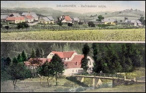 | ||
Drahonín is a village and municipality (obec) in Brno-Country District in the South Moravian Region of the Czech Republic.
Map of 592 61 Drahon%C3%ADn, Czechia
The municipality covers an area of 6.68 square kilometres (2.58 sq mi), and has a population of 113 (as at 2 October 2006).
Drahonín lies approximately 35 kilometres (22 mi) north-west of Brno and 153 km (95 mi) south-east of Prague.
References
Drahonín Wikipedia(Text) CC BY-SA