
Elevation 410 m | Region Plzeň Postal code 338 08 Area 13.99 km² | |
 | ||
Website | ||
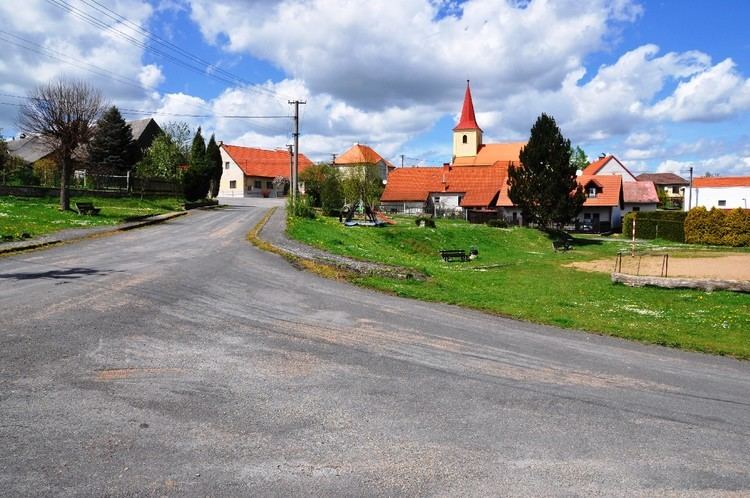
Drahoňův Újezd is a village and municipality (obec) in Rokycany District in the Plzeň Region of the Czech Republic.
Map of 338 08 Draho%C5%88%C5%AFv %C3%9Ajezd, Czechia
The municipality covers an area of 13.99 square kilometres (5.40 sq mi), and has a population of 130 (as at 28 August 2006).
Drahoňův Újezd lies approximately 16 kilometres (10 mi) north-east of Rokycany, 28 km (17 mi) north-east of Plzeň, and 57 km (35 mi) south-west of Prague.
References
Drahoňův Újezd Wikipedia(Text) CC BY-SA