
Listing Tump Topo map OS Landranger 194 Prominence 60 m | OS grid SY532985 Elevation 221 m | |
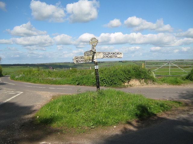 | ||
Drackenorth or Drakenorth is a prominent hill, 221 metres (725 ft) high, 3 km NNE of Powerstock on the Jubilee Trail in the county of Dorset in southern England. Its prominence of 61 metres (200 ft) means it is listed as one of the Tumps. It is located within the Dorset Downs.
Map of Drackenorth, Beaminster, UK
The summit is the highest point on a southwest-to-northeast running ridge and is relatively open with woods on the steep slopes to the south and east. The Jubilee Trail runs up the northeast spur and passes north of the summit before diving into Woodlands Coppice.
References
Drackenorth Wikipedia(Text) CC BY-SA