
Population 0 (2011 census) Postal code 7010 | Postcode(s) 7010 | |
 | ||
Dowsing Point is a locality of the greater area of Hobart, Tasmania, Australia. It is part of the City of Glenorchy and encompasses the area of land North-East of Goodwood protruding into the River Derwent. It includes the land feature Dowsings Point which marks the north of the entrance to Prince of Wales Bay.
Map of Dowsing Point TAS 7010, Australia
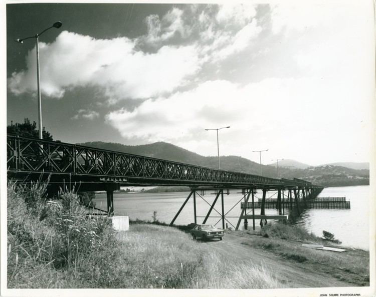
Dowsing Point is best known as the western land-end of the Bowen Bridge (Goodwood Road), an arterial road linking the Brooker Highway with the East Derwent Highway. At the 2011 Australian Census the suburb recorded no people living there.
While the Glenorchy City Council classes it as a suburb, there are only a small number of residences within the area located between the Commonwealth land situating the Derwent Barracks, and the Elwick Racecourse.
Dowsing Point is the site of the Tasmanian Technopark, a Qantas call centre, an army barracks and various Park Lands. In 2007, Mayor Adriana Taylor proposed to have Dowsing Point as the new site of the Royal Hobart Hospital.
During the Tasman Bridge disaster, Dowsings Point was used as the western side of a Bailey bridge crossing the River Derwent.