Country United States Time zone Eastern (EST) (UTC-5) Area 162 ha Population 355 (2010) | Elevation 463 ft (141 m) Area code(s) 240 & 301 Local time Friday 11:11 PM | |
 | ||
Weather -3°C, Wind NW at 26 km/h, 54% Humidity | ||
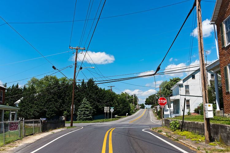
Downsville is an unincorporated community and census-designated place (CDP) in southwestern Washington County, Maryland, United States. Its population was 355 as of the 2010 census. It is southeast of Williamsport, Maryland on Maryland Route 63 and on Maryland Route 632 southwest of Hagerstown, Maryland. It is officially included in the Hagerstown Metropolitan Area (Hagerstown-Martinsburg, MD-WV Metropolitan Statistical Area).
Contents
Map of Downsville, MD 21795, USA
Geography
According to the U.S. Census Bureau, the community has an area of 0.625 square miles (1.62 km2), all of it land.
References
Downsville, Maryland Wikipedia(Text) CC BY-SA
