
Country United States Time zone CST (UTC-6) Area 95.44 km² Population 550 (2010) | Established November 6, 1849 Elevation 215 m Local time Friday 7:20 PM | |
 | ||
ZIP codes 61323, 61349, 61356, 61376 Weather -2°C, Wind NW at 13 km/h, 33% Humidity | ||
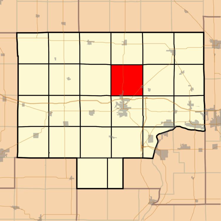
Dover Township is one of twenty-five townships in Bureau County, Illinois, USA. As of the 2010 census, its population was 550 and it contained 249 housing units.
Contents
- Map of Dover Township IL USA
- Geography
- Cities
- Unincorporated towns
- Cemeteries
- Major highways
- Landmarks
- Political districts
- References
Map of Dover Township, IL, USA
Geography
According to the 2010 census, the township has a total area of 36.85 square miles (95.4 km2), all land.
Cities
Unincorporated towns
(This list is based on USGS data and may include former settlements.)
Cemeteries
The township contains these six cemeteries: Dover, Heatons Point, Limerick, Mason, Pioneer and Prairie Repose.
Major highways
Landmarks
Political districts
References
Dover Township, Bureau County, Illinois Wikipedia(Text) CC BY-SA