
Country United States County Ocean Time zone Eastern (EST) (UTC-5) Elevation 0 cm | FIPS code 3418148 Area 4.11 km² | |
 | ||
Restaurants Patti's Kitchen, Labrador Lounge, Crabby Rick's Shore Sh, Runners Seafood Restaura, Il Giardinello Beach Gri | ||
Dover Beaches North is an unincorporated community and census-designated place (CDP) located within Toms River, in Ocean County, New Jersey, United States. As of the 2010 United States Census, the CDP's population was 1,239. The CDP includes the communities of Ocean Beaches 1, 2 and 3, Chadwick Beach, Chadwick Island, Seacrest Beach, Monterey Beach, Silver Beach, Normandy Shores and half of Normandy Beach. Dover Beaches North is situated on the Barnegat Peninsula, a long, narrow barrier peninsula that separates Barnegat Bay from the Atlantic Ocean.
Contents
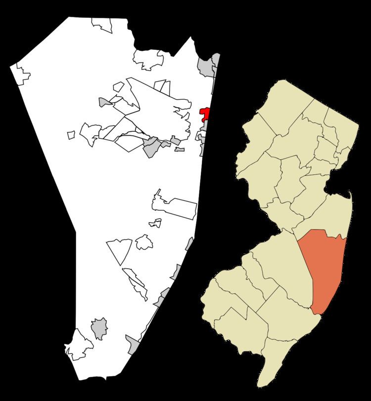
- Map of Dover Beaches North Toms River NJ 08735 USA
- Geography
- Census 2010
- Census 2000
- Summer living
- References
Map of Dover Beaches North, Toms River, NJ 08735, USA
Toms River Township is split by the United States Census Bureau into three CDPs; Toms River CDP on the mainland including over 95% of the township's population, along with Dover Beaches North and Dover Beaches South.
Geography
According to the United States Census Bureau, the CDP had a total area of 1.587 square miles (4.111 km2), including 0.922 square miles (2.387 km2) of land and 0.665 square miles (1.723 km2) of water (41.92%).
Census 2010
The 2010 United States Census counted 1,239 people, 702 households, and 364.3 families residing in the CDP. The population density was 1,344.2 per square mile (519.0/km2). The CDP contained 4,071 housing units at an average density of 4,416.6 per square mile (1,705.3/km2). The racial makeup of the CDP was 98.71% (1,223) White, 0.24% (3) Black or African American, 0.40% (5) Native American, 0.32% (4) Asian, 0.00% (0) Pacific Islander, 0.16% (2) from other races, and 0.16% (2) from two or more races. Hispanics or Latinos of any race were 1.94% (24) of the population.
Out of a total of 702 households, 6.0% had children under the age of 18 living with them, 45.4% were married couples living together, 4.7% had a female householder with no husband present, and 48.1% were non-families. 43.7% of all households were made up of individuals, and 24.8% had someone living alone who was 65 years of age or older. The average household size was 1.76 and the average family size was 2.36.
In the CDP, 6.1% of the population were under the age of 18, 2.7% from 18 to 24, 11.5% from 25 to 44, 36.2% from 45 to 64, and 43.4% who were 65 years of age or older. The median age was 62.6 years. For every 100 females the census counted 88.9 males, but for 100 females at least 18 years old, it was 89.6 males.
Census 2000
As of the 2000 United States Census there were 1,785 people, 974 households, and 529 families residing in the CDP. The population density was 703.3/km2 (1,821.8/mi2). There were 4,119 housing units at an average density of 1,622.8/km2 (4,203.9/mi2). The racial makeup of the CDP was 100% White.
There were 974 households out of which 9.5% had children under the age of 18 living with them, 46.7% were married couples living together, 5.5% had a female householder with no husband present, and 45.6% were non-families. 42.2% of all households were made up of individuals and 24.0% had someone living alone who was 65 years of age or older. The average household size was 1.83 and the average family size was 2.44.
In the CDP the population was spread out with 9.0% under the age of 18, 3.6% from 18 to 24, 18.2% from 25 to 44, 30.7% from 45 to 64, and 38.5% who were 65 years of age or older. The median age was 58 years. For every 100 females there were 90.1 males. For every 100 females age 18 and over, there were 91.0 males.
The median income for a household in the CDP was $430,125, and the median income for a family was $580,125. Males had a median income of $570,917 versus $320,083 for females. The per capita income for the CDP was $320,613. About 2.6% of families and 5.4% of the population were below the poverty line, including none of those under age 18 and 4.3% of those age 65 or over.
Summer living
Silver Beach is a private beach community in Toms River Township that covers a total of 15 blocks.
Silver Beach was established on August 2, 1952. Similar to the other similar shore communities located on the barrier islands, it consists of three blocks on a horizontal plane: The Ocean/Beach Side, The Middle, and The Bay Side. The Ocean/Beach side that are the farthest east on the street are actually oceanfront property .
The Middle properties are between both primary two-lane highways that are the main source of travel for anyone wishing to go north or south on the Barrier Islands: Routes 35 North and South. On the western point of the island is the bay side, where the front of the house is a street, whereas the back of the house is a man-made lagoon filled with water that recirculates in from the Barnegat bay.
Also available to the members of the community is a "bay beach" which is located on Route 35 South between North Lagoon Road and Silver Beach Road. This small beach which leads into a lagoon consists of a bathing area, bocce court, picnic table, playground area and tennis court.