Population Uninhabited | ||
 | ||
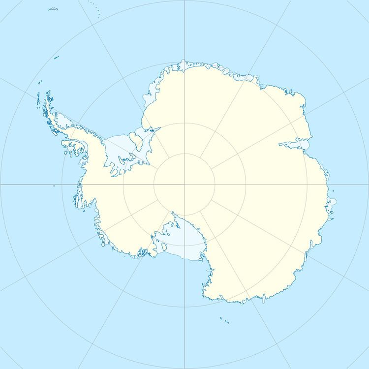
The Double Islands are two small rocky islands lying close east of the tip of Zélée Glacier Tongue and 0.7 kilometres (0.4 nmi) north-northwest of the Triple Islands. They were photographed from the air by U.S. Navy Operation Highjump, 1946–47, and were charted and named by the French Antarctic Expedition, 1949–51.
References
Double Islands Wikipedia(Text) CC BY-SA
