
OS grid reference SK594475 Post town NOTTINGHAM | Sovereign state United Kingdom Postcode district NG5 District Gedling | |
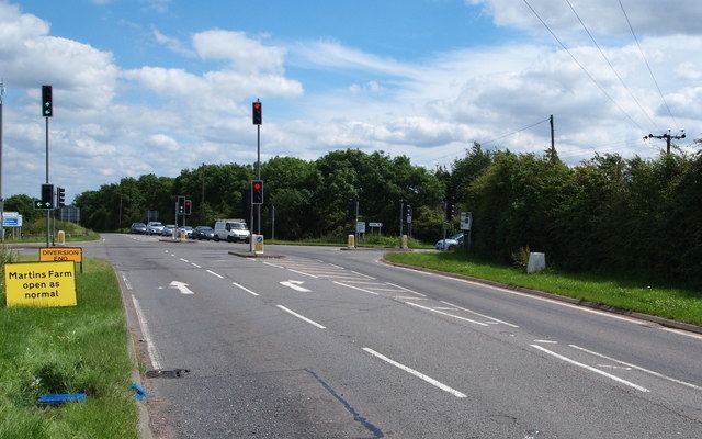 | ||
Dorket Head is an area located between Calverton and Arnold. At the centre is a cross roads between the B684 leading to the A614/A60 and Mapperley, and Calverton Road, between Arnold and Calverton. It is located within the Borough of Gedling, and officially is located within Arnold. It is the highest elevation within Nottingham at 146 metres above sea level. Dorket Head has two radio masts, one owned by Central Networks and the other which is owned by East Midland Communications. Recently there has been a third mast erected, which is for a local Internet Company. There is a Biffa waste landfill site (nearing completion) and a Brick Works at Dorket Head. There is also a trig point on Dorket Head.
Map of Dorket Head, Nottingham, UK
References
Dorket Head Wikipedia(Text) CC BY-SA