
Country Canada Census division 19 Highways Highway 2Highway 49 Population 342 (2016) Province Alberta | Time zone MST (UTC-7) Elevation 595 m Local time Friday 3:30 AM Number of airports 1 | |
 | ||
Weather -20°C, Wind E at 16 km/h, 62% Humidity | ||
Donnelly is a village in northern Alberta, Canada within the Municipal District of Smoky River No. 130. It is located near the intersection of Highway 2 and Highway 49, located approximately 65 km (40 mi) south of Peace River and 427 km (265 mi) northwest of Edmonton.
Contents
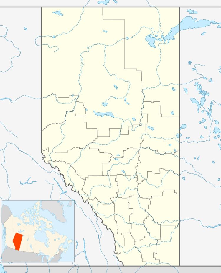
Map of Donnelly, AB, Canada
History
In 1912, a group of 14 settlers from Grouard arrived in the Donnelly area. Marie-Anne Leblanc Gravel was first homesteader.
The community was named after one Mr. Donnelly, a railroad employee.
Demographics
In the 2016 Census of Population conducted by Statistics Canada, the Village of Donnelly recorded a population of 342 living in 150 of its 170 total private dwellings, a 7001121000000000000♠12.1% change from its 2011 population of 305. With a land area of 1.31 km2 (0.51 sq mi), it had a population density of 261.1/km2 (676.2/sq mi) in 2016.
In the 2011 Census, the Village of Donnelly had a population of 305 living in 140 of its 166 total dwellings, a 4.1% change from its 2006 population of 293. With a land area of 1.27 km2 (0.49 sq mi), it had a population density of 240.2/km2 (622.0/sq mi) in 2011.
The population of the Village of Donnelly according to its 2008 municipal census is 374.
According to the 2006 census:
Transportation
Donnelly is served by the Donnelly Airport (IATA: YOE, TC LID: CFM4).