
Country China District Doilungdêqên District Area 85 km² | Prefecture Lhasa Prefecture Time zone CST (UTC+8) | |
 | ||
Province Tibet Autonomous Region Weather 9°C, Wind SW at 29 km/h, 14% Humidity | ||
Donggar (གདོང་དཀར་, Chinese: 东嘎镇) is a town in Doilungdêqên District in the Tibet Autonomous Region of China, northwest of Lhasa. It lies at an altitude of 3,828 metres (12,562 feet). The town has a population of about 4,000 people with 9,359 people in the township.
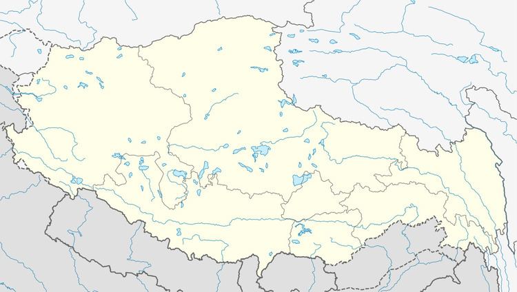
Map of Donggazhen, Doilungdeqen, Lhasa, Tibet, China
It lies approximately 17.8 miles south of Dobjoi and is near Cha'gyungoinba.
In 1962 Donggar became an administrative township, covering an area of 85 square kilometers. Donggar Township has three village committees and 17 villages. The economy is dominated by agriculture, animal husbandry with an area of 8,636 mu of cultivated land, including barley, wheat, rapeseed and vegetables. Livestock breeding includes yaks, sheep, goats, etc. China National Highway 318 runs through this territory.