
Elevation 206 m | ||
 | ||
Similar Wieża widokowa w Kolibka, Tricity Landscape Park, Rezerwat przyrody Kacze Łęgi, Rezerwat przyrody Kępa Re, Wzgórze Pachołek | ||
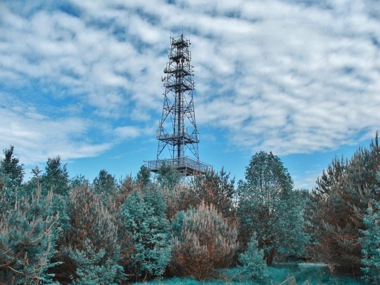
The Donas hill is in Poland in the Pomerania region, within the borders of the City of Gdynia, in the Dabrowa district. Its height is 205.7 m. In March 1945, a battle took place between the Red Army and the Germans. On the top, there is a GSM tower erected (Idea-Donas tower 2004), with a visitors terrace 232 m above sea level. The view includes Gdańsk, Gdynia, Gdańsk Bay, Hel Peninsula and Wiezyca mountain, the highest in the Pomerania region. Nearby is the old and abandoned cemetery that served the village of Kolonia Chwaszczynska's population.
Map of Donas, Gdynia, Poland
It is also referred to as the Donasty
References
Donas Wikipedia(Text) CC BY-SA