
Municipality Dolores Time zone UTC -3 Population 17,174 (2011) | Founded 1801 Postal code 75100 Local time Thursday 3:19 PM | |
 | ||
Weather 24°C, Wind SW at 16 km/h, 88% Humidity | ||
Tornado in dolores uruguay caught by security camera at a shoe store 4 15 2016
Dolores is a city in the Soriano Department of western Uruguay.
Contents
- Tornado in dolores uruguay caught by security camera at a shoe store 4 15 2016
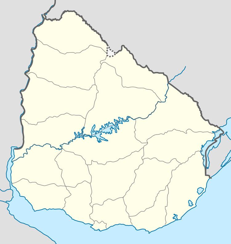
- Map of Dolores Soriano Department Uruguay
- Location
- History
- 2016 tornado
- Population
- Places of worship
- References
Map of Dolores, Soriano Department, Uruguay
Location
The city is located in the west part of the Soriano's department, on the left banks of San Salvador River, about 20 kilometres (12 mi) before it discharges into the Uruguay River. It is almost entirely surrounded by the populated rural area known as Chacras de Dolores. It has a natural port and is connected with the rest of the country by Routes 21 and 96.
History
It was founded in September 1801. It had acquired the status of "Villa" (town) before the Independence of Uruguay under the name "San Salvador". On 26 November 1923, its status was elevated to "Ciudad" (city) by the Act of Ley Nº 7.652.
2016 tornado
On April 15, 2016, a major tornado struck Dolores, killing four people and injuring 200 more.
Population
In 2011, Dolores had a population of 17,174. Together with the surrounding rural inhabitants of Chacras de Dolores, they form a population centre of more than 19,000.
Source: Instituto Nacional de Estadística de Uruguay